Who we are: Taylor Pond Association is a 501c-3 non-profit corporation first organized in 1974. Our members are committed to maintaining the water quality of Taylor Pond in order to preserve wildlife habitat, protect property values and safeguard recreational opportunities.
Physical Characteristics: Taylor Pond covers an area of 640 acres, drains a watershed of 13.58 square miles, and has a volume of 11643 acre-feet, flushes at a rate of 1.34 flushes per year. It has a maximum depth of 44 feet and mean depth of 17 feet. It is located at an elevation of 240 feet above sea level.
Taylor Pond has been listed by the Maine Department of Environmental Protection as a lake “most at risk from new development” (this listing has also been applied to 232 other lakes in Maine). Due to this status both the pond and the entire watershed that drains into the pond are protected by laws to ensure the continued high quality of the water.
Water Quality: Taylor Pond Association has monitored the water quality since 1975 producing a comprehensive picture. One way of measuring water quality is by measuring the greatest depth one can see an object. This measurement, water clarity, averages 15.1 feet for Taylor Pond compared with 15.9 feet for all lakes measured in Maine. Measuring phosphorous in the water is the most reliable measure of water quality. When the phosphorus is high, algae may overgrow the lake decreasing water clarity and oxygen levels that support aquatic life. The average phosphorous level in Taylor Pond measures 11 which compares favorably with the average for all lakes measured in Maine of 12. You can find the latest water quality report in our most recent newsletter or by scanning our posts from the last year.
How you can help the pond: Storm water runoff is the main way in which phosphorus enters the pond. Phosphorous makes algae grow reducing the clarity of the water, causing an unpleasant appearance and depleting the oxygen in the water so that fish die. Directing runoff into a vegetated area to slowly filter into the lake allows natural factors to remove the phosphate. Keep land disturbance to a minimum, do not remove natural vegetation or expose bare soil and leave at least a 25 foot buffer strip along the shore with unmowed natural vegetation. Trees along the shoreline protect the soil from erosion and cutting them is extremely limited by law. Do not fertilize near the pond, lime is often more effective than fertilizers, organic mulches are generally safer and for best results have your soil tested before adding any fertilizer. Use non-phosphorus detergents, do not allow soap into the water, and do not allow water washed off cars to run into the pond. Do not add sand, dredge or rake in the lake as these activities also increase phosphate and require a permit.
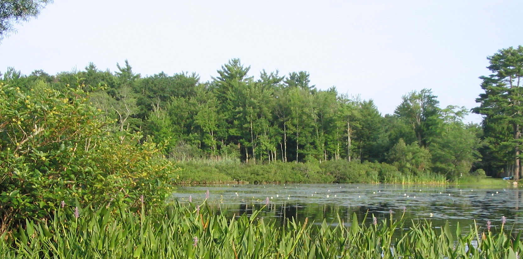
Geology: Taylor Pond is a natural body of water well known to the Abenaki group of Native Americans when Europeans arrived in the 1600’s. Glaciers coming from the north scooped out its shallow depression where water collected 10,000 years ago. No artificial dam holds back its free-flowing waters. The main inlets to Taylor Pond are Lapham Brook which enters at the northern end and Hodgkins Brook on the west shore and numerous smaller seasonal streams and wetlands. The main outlet is Taylor Brook. There are numerous wetlands, including on the north end where Lapham Brook enters, on the west shore where Hodgkins Brook enters and large areas along the southwestern and southern shore areas. Wetlands act as a natural sponge to soak up water and prevent flooding. They also function to remove large amounts of phosphorous.
Protection: The Maine Department of Environmental Protection is charged with investigating possible violation of water quality protection laws. If you believe that someone on the pond has intentionally or unintentionally violated a law call the DEP Hotline at (207)822-6300 or toll free (in-state only) at (888)769-1036.